Portland Drone Photography
Aerial stills and perspectives captured over Portland-area properties — residential, multifamily, commercial, and land.
FAA-certified aerial photography and video for real estate, apartments, commercial properties, and land in Portland, Oregon. Show the full picture from above.
Aerial stills and perspectives captured over Portland-area properties — residential, multifamily, commercial, and land.
All Revisual Media drone operations are conducted by an FAA Part 107 certified remote pilot. This is required for any commercial drone photography in the United States — and it protects you as the client.
Part 107 certification means we operate legally under FAA commercial drone rules. No unlicensed operators — which matters for insurance and liability.
We handle all required FAA airspace authorizations for controlled airspace near PDX and other Portland-area airports when needed.
All drone operations are fully insured. You get professional aerial media without any liability exposure from uncertified operators.
We monitor forecasts and reschedule if conditions aren't right. Portland weather varies — we plan around it so you get the best possible shots.
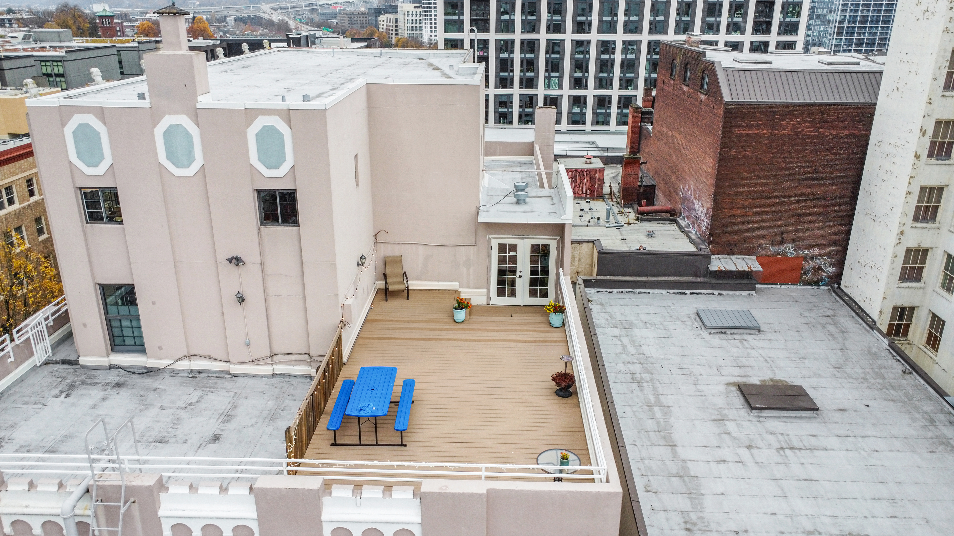
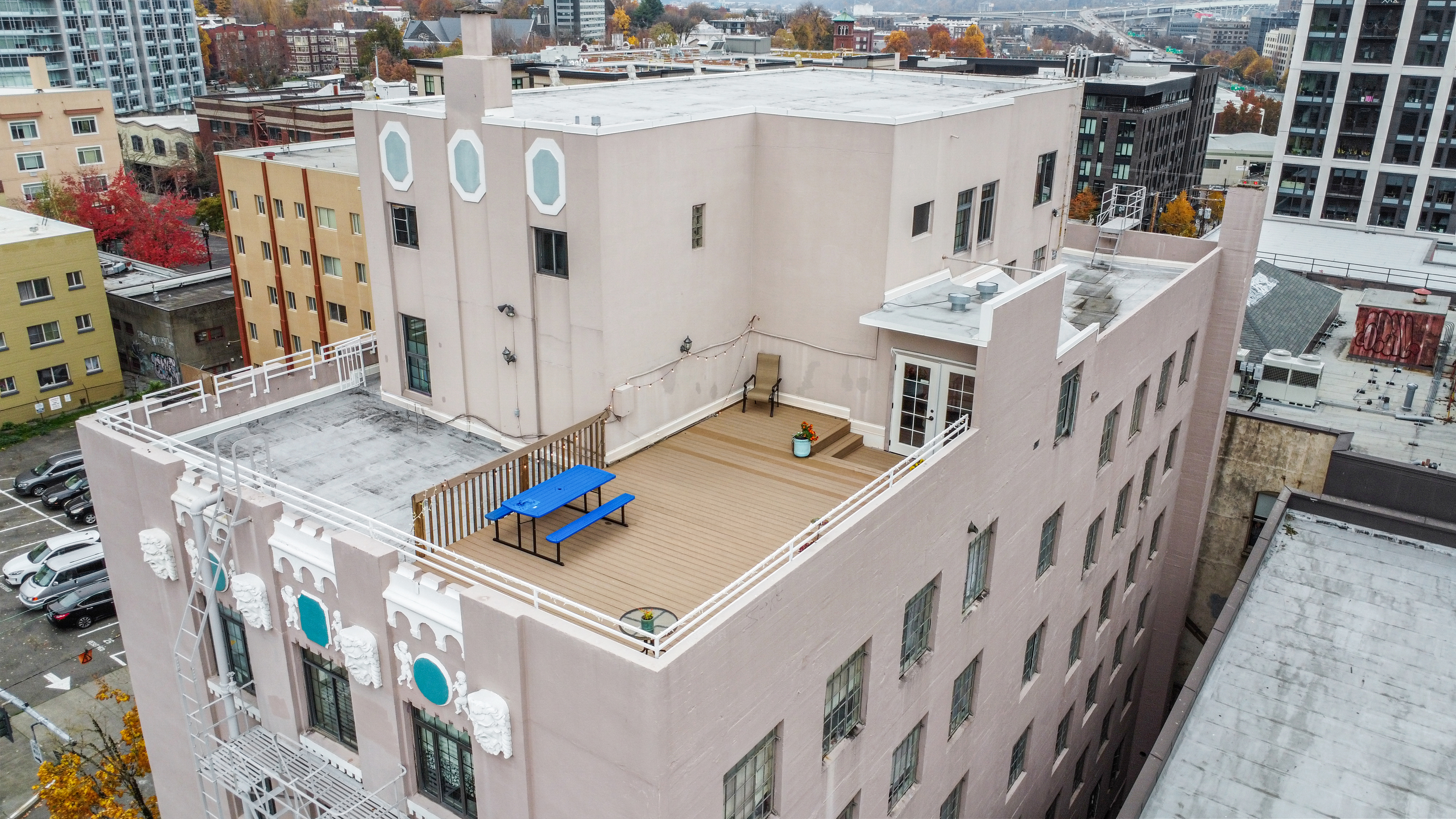
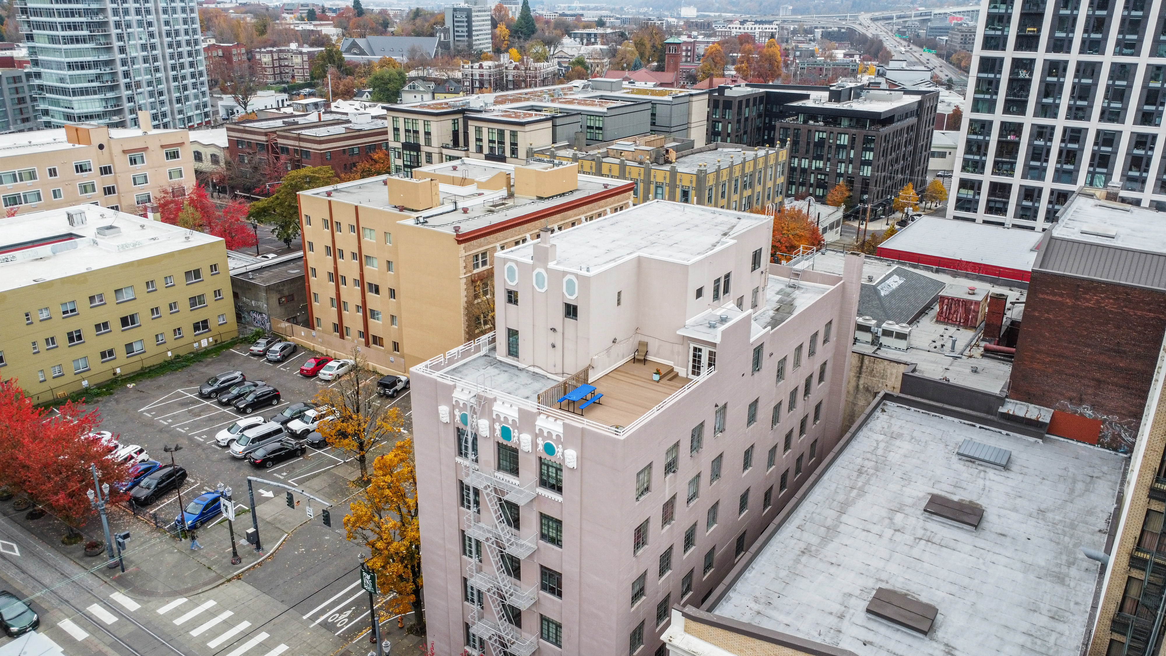
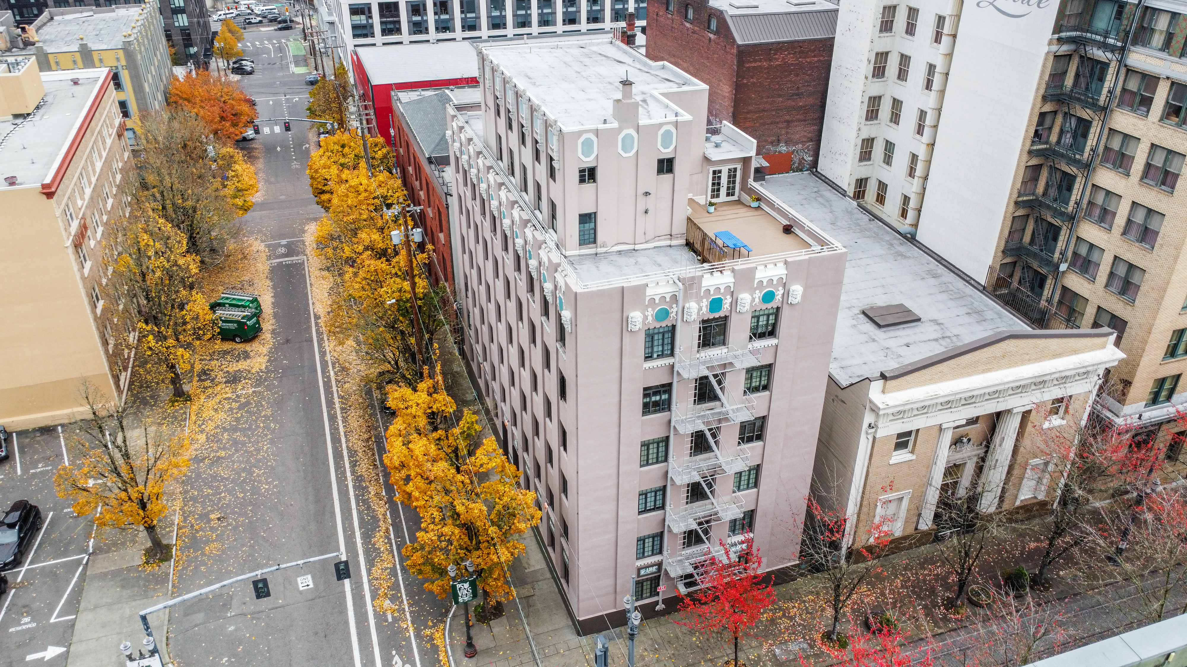
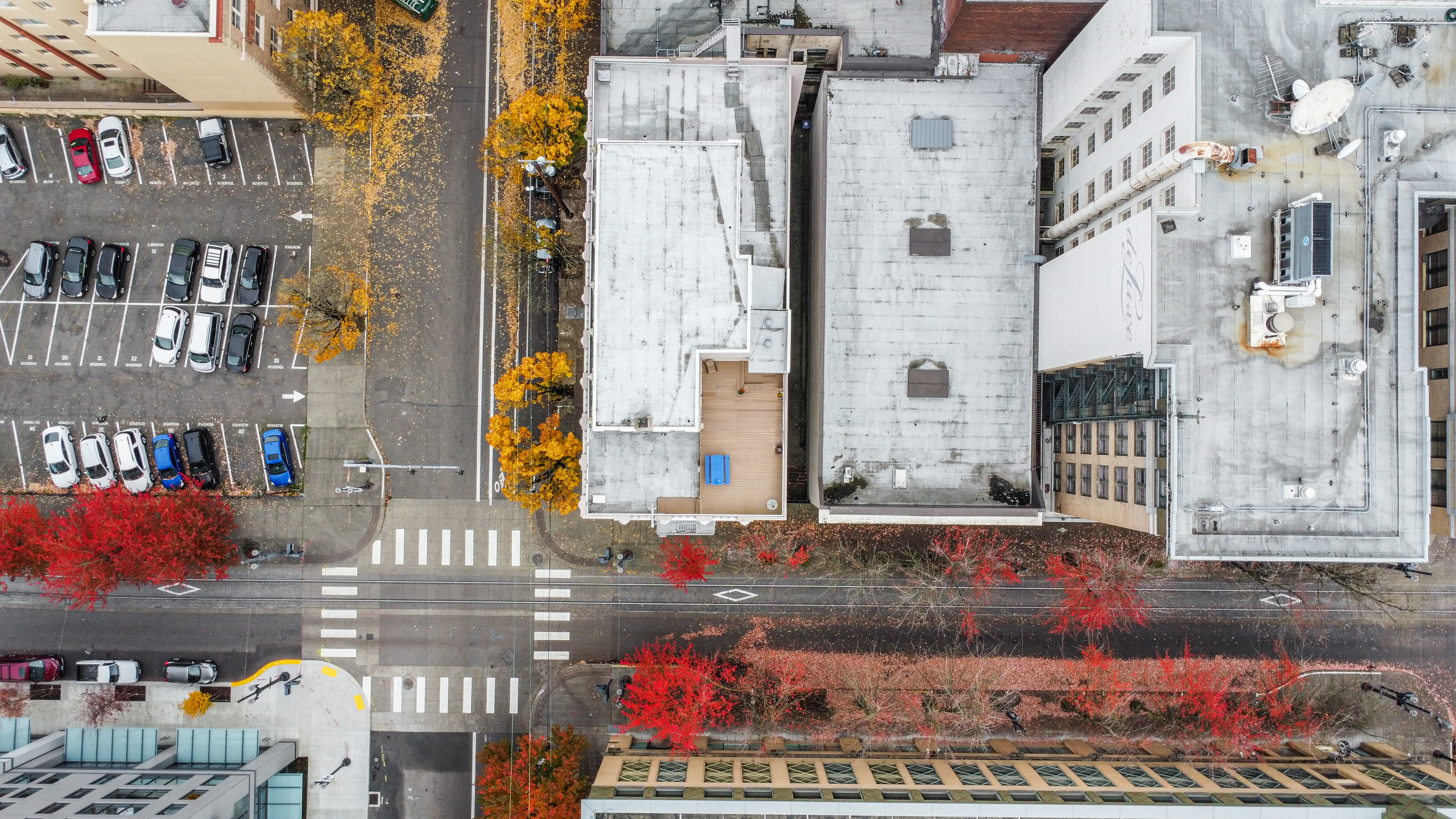
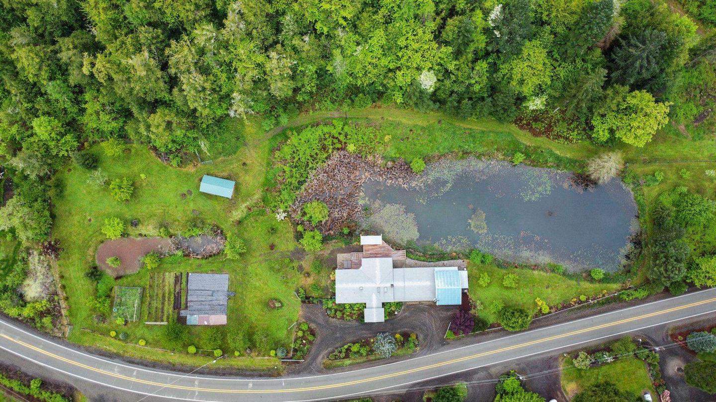
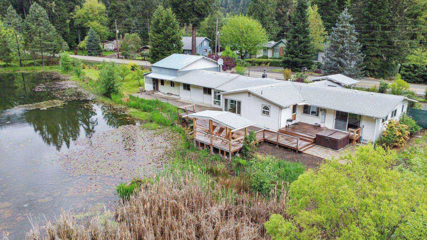
Aerial perspective adds context that ground-level photos simply can't provide — lot size, neighborhood, proximity to amenities, and overall property scale.
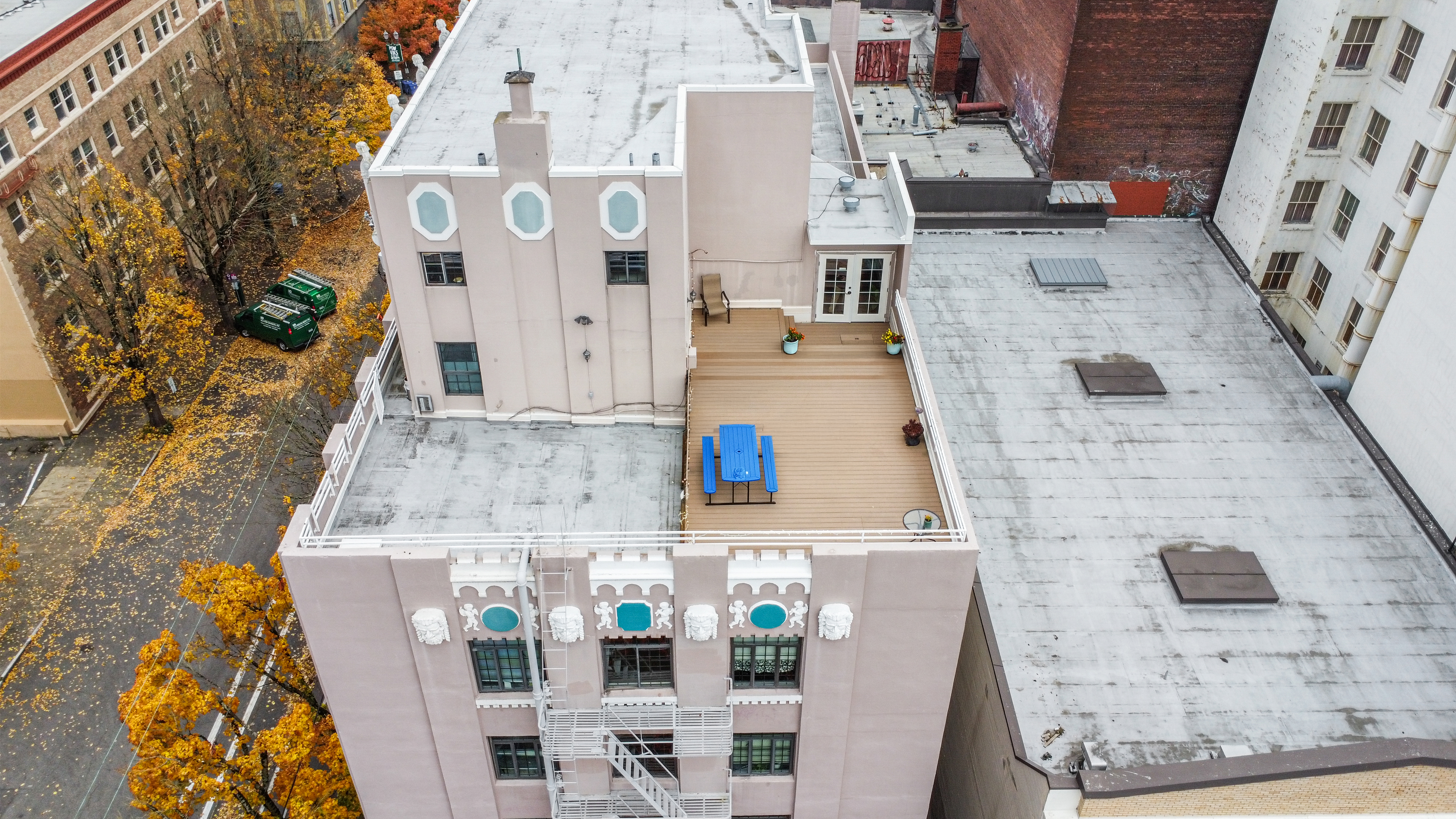
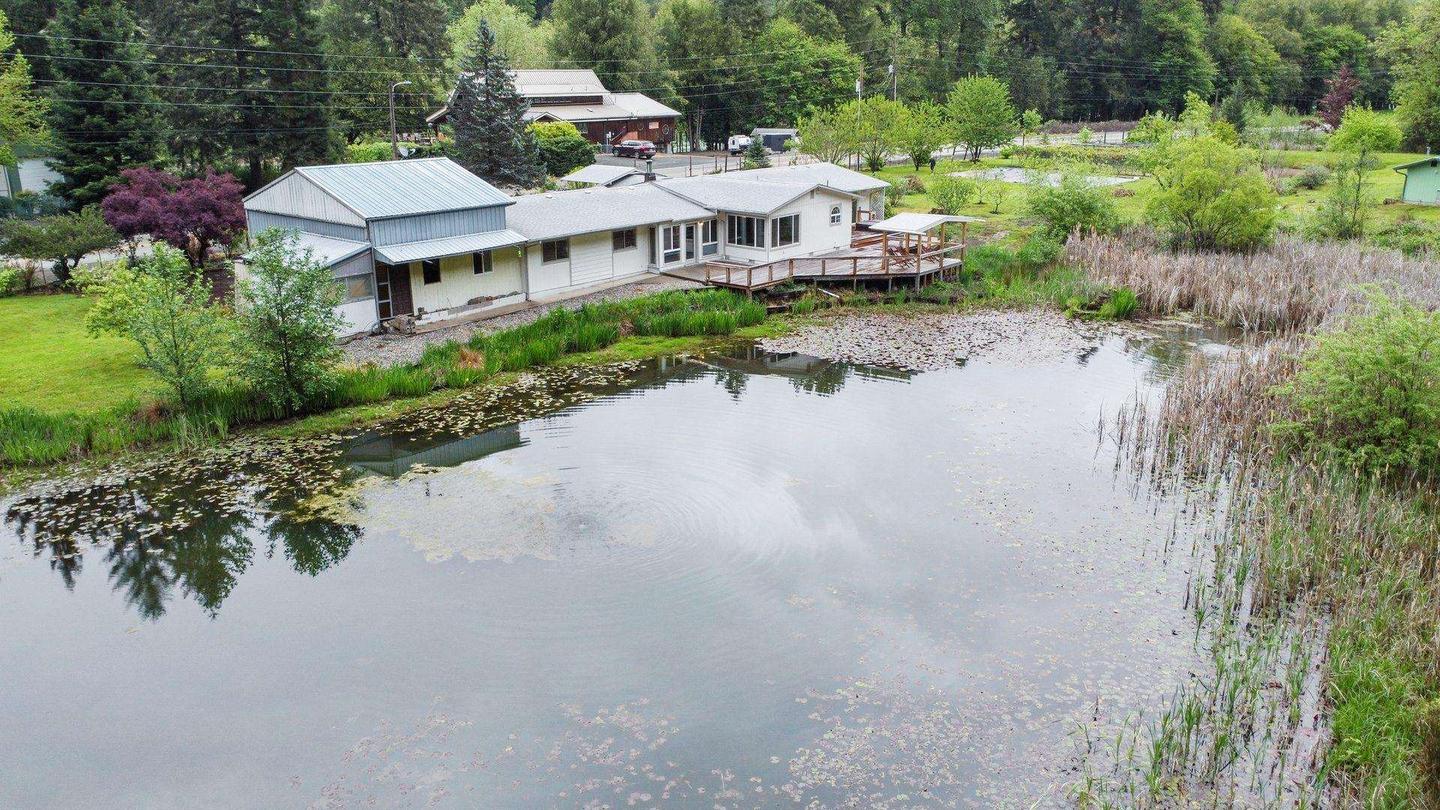
Aerial shots of the home, yard, and neighborhood context. Essential for properties with acreage, waterfront, views, or distinctive rooflines. Shows buyers what photos from the ground never can.
Aerial overview of the full community — building layout, parking, amenity areas, green space, and neighborhood surroundings. Standard for multifamily marketing packages.
Show site access, square footage context, proximity to major roads, and surrounding commercial density. Aerial is often the most effective element in commercial listing packages.
Smooth aerial video reveals and flyovers for property listings, community tours, and marketing campaigns. Pairs with ground-level video for a complete cinematic package.
Document construction phases from above for project documentation, investor updates, and marketing of new developments. Recurring shoots available for long-term projects.
Most shoots combine drone with interior photography, Matterport virtual tours, or floor plans. Bundle everything into a single shoot day for the best value and consistent delivery.
Drone can be added to any photography or Matterport package. One shoot day, one point of contact, everything delivered together.
Tell us the property address, what you need — stills, video, or both — and whether you're bundling with other services. We confirm shoot details and check airspace requirements.
We monitor the forecast leading up to the shoot. If conditions aren't right, we'll reschedule at no extra charge. We shoot in good light — no grey, overcast filler shots.
We fly the property, capture all required angles and elevations, and complete any bundled interior photography in the same visit. Most drone shoots take 30–60 minutes on site.
Edited aerial photos delivered within 24–48 hours. Video within 72 hours. High-resolution files ready for MLS, your website, listing platforms, and social media.
FAA-certified aerial photography for residential, multifamily, and commercial properties across Portland and greater Oregon.